Navy survey team finds Army pub with no beer

A Navy hydrographic survey team could not get a drink from an old watering hole they found during an exercise in far-north Queensland recently, even though it was surrounded by water.
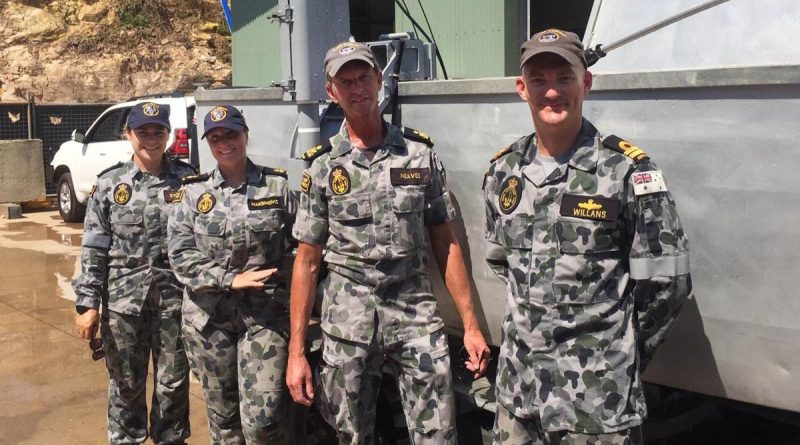
 CAPTION: Able Seaman Deneki Stewart, Leading Seaman Tanya Maksimovic, Petty Officer David Neaves and Lieutenant Jared Willans with the fly-away survey equipment they used to find a submerged Army watering hole. Photographer unnamed. Story by Lieutenant Jared Willans.
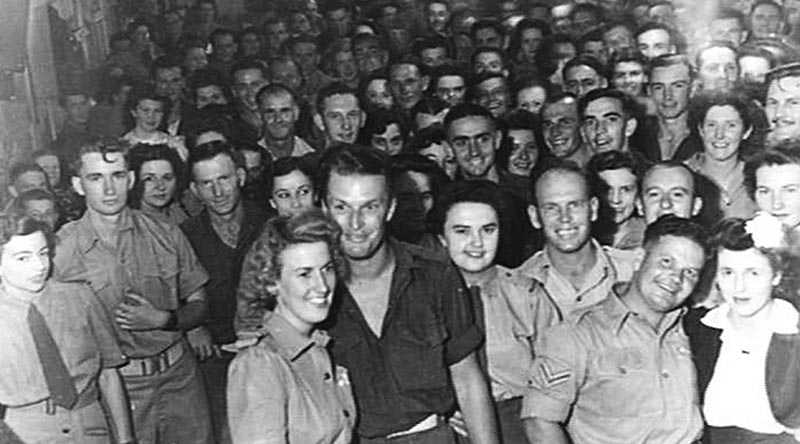
RIGHT: The Koala Club on 19 November 2020.
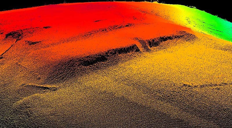
Deployable Geospatial Support Team Four, which is part of the Maritime Geospatial Warfare Unit, used their high-tech equipment to find the remains of the now-submerged Koala Club soldiers’ mess while surveying Tinaroo Falls Dam.
The club and the town of Kulara on the Atherton Tablelands west of Cairns were flooded when the Barron River was dammed in 1958.
The mess was built by the Army in 1944 and remained in use right up to the time the dam was being built.

It was dismantled before being submerged, but the foundations, a wall and some steps could be identified in the survey.
The team also found a bridge, which remains intact despite being under water for so long.
It was used by more than 100,000 Allied personnel stationed in the area to cross the river.
But there was little left of the township of Kulara.
Leading Seaman Tanya Maksimovic said finding the bridge and the remains of the Koala Club was “pretty exciting”.
“Seeing where the river used to flow through the area was incredible − definitely not what I expected,” she said.
Meanwhile, the team also surveyed two crater lakes near Atherton, Lake Barrine and Lake Eacham.
Those surveys allowed the team to report their depths to the Queensland National Parks and Wildlife Service, and to find out if the lakes, about 4km apart, were connected by caves.
Lake Barrine was found to have a depth of 67m and Lake Eacham 65m, but there was no evidence of caves.
Petty Officer David Neaves said surveying the lakes was something to remember.
“This was such a unique opportunity to survey the crater lakes while being surrounded by rainforest − a truly wonderful experience,” Petty Officer Neaves said.
The team also visited Malanda State High School and shared the results of the surveys.
.
.
.
.
.
.

.
.